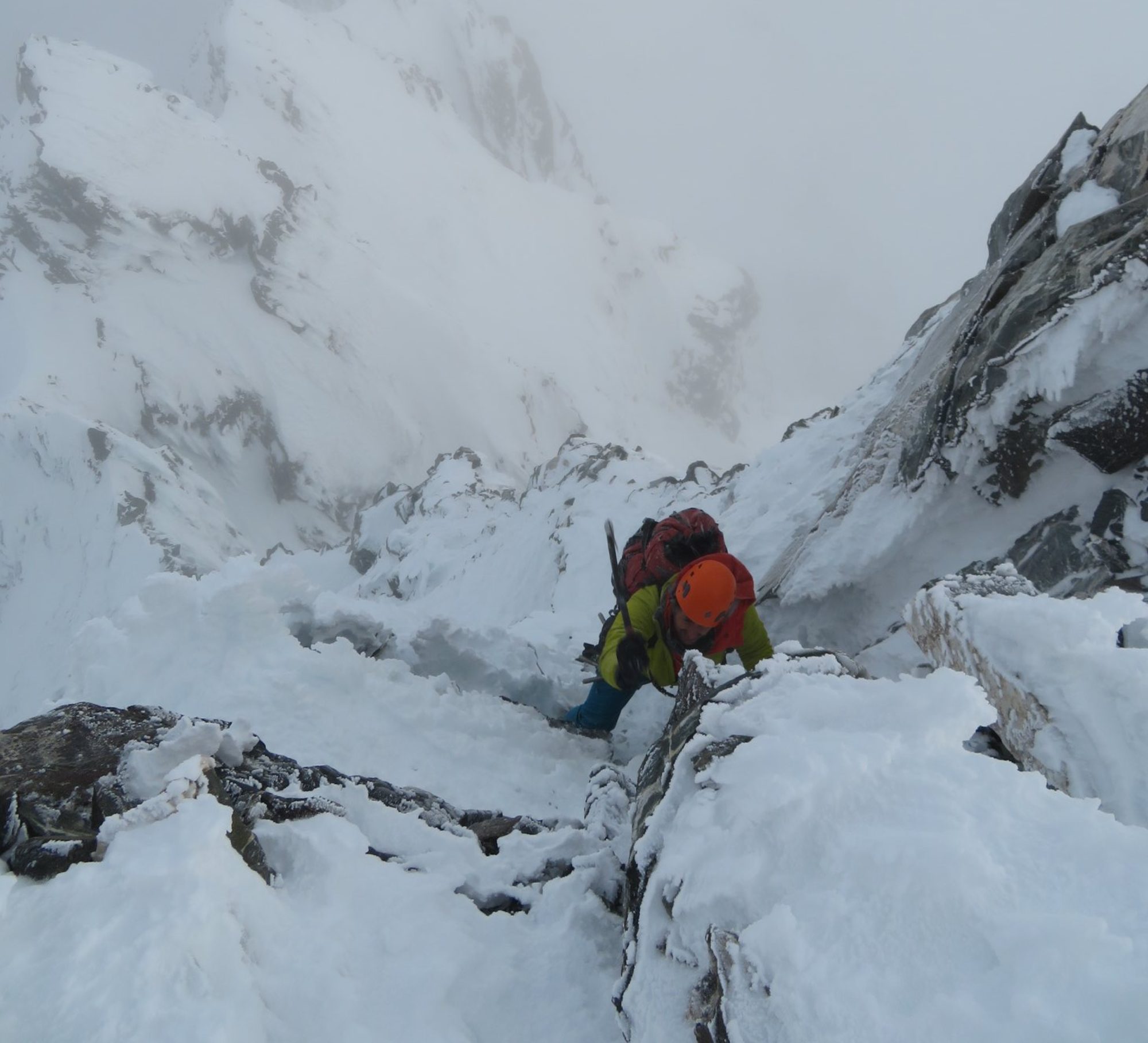
Mount Bogong (1986m) is the highest point in Victoria, Australia. It sits within Alpine National Park, a wilderness area adjacent to Mount Beauty township and Falls Creek ski resort. I visited it with friends Caroline Auricht and James Nankivell in February 2020, primarily to train for a bigger overseas trip, but also to explore this often overlooked Australian park which has a unique alpine environment and plenty of wild backcountry skiing potential in winter.
Day 1
Mountain Creek Campground to Cleve Cole Memorial Hut via Staircase Spur
12.5km, ~1300m elevation gain
We left our cars in Mountain Creek Campground near Mount Beauty township. We took enough food and gear for 4 days of hiking, expecting to stay in huts but carrying tents for safety emergency shelter.
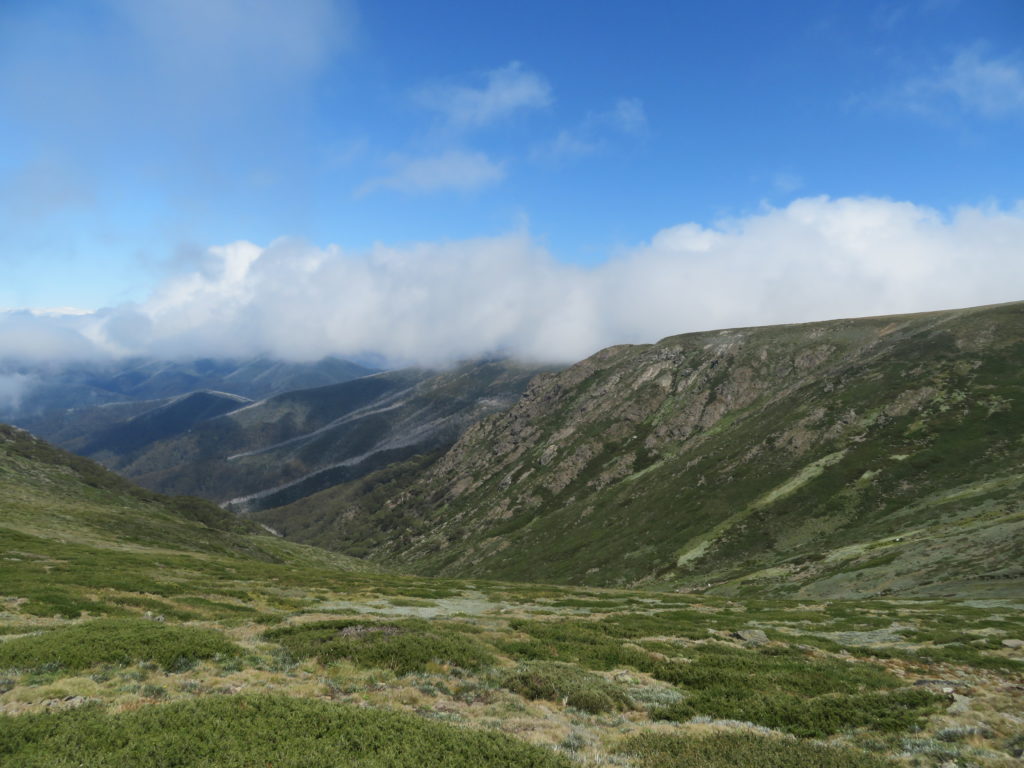
We ascended Mt. Bogong via the Staircase Spur, which can be described simply as a very, very long, non-technical uphill slog. With ~1300m of elevation gain, it would be one of the biggest continuous vertical ascents you can walk in Australia. It took us about 3 hours to reach the halfway point at Bivoauc hut. Bivoauc hut is small and very much an emergency-only shelter, but it has a composting toilet and water tank so makes a natural lunch spot.
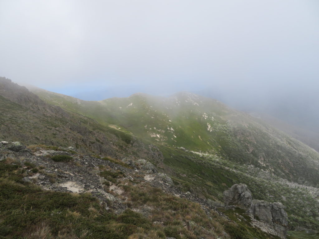
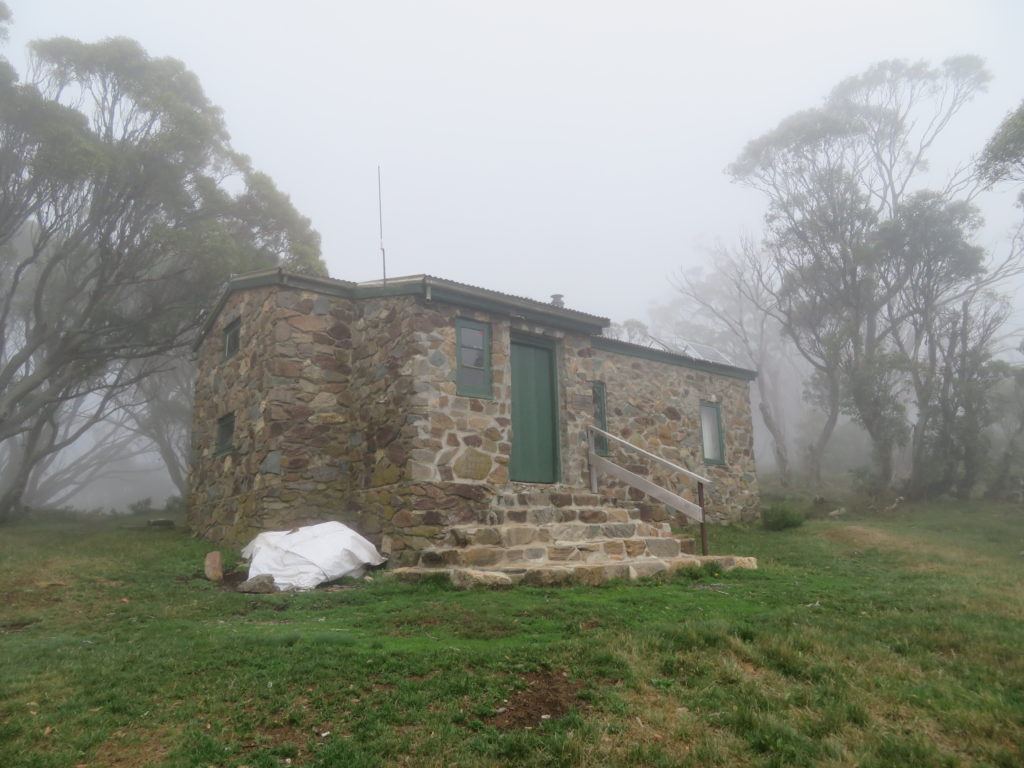
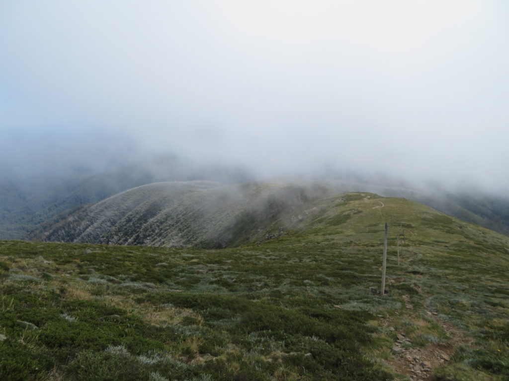
Continuing on we ascended above the tree line and reached the summit of Mount Bogong after another ~3 hours of walking. Views were spectaculor, but bad weather was fast moving in. After a brief rest at the summit cairn, we continued the remaining 4.5km mostly downhill walking to reach Cleve Cole Memorial Hut (~1750m).
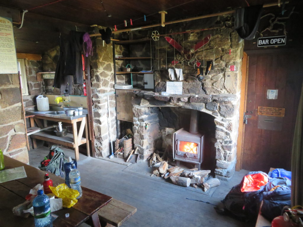
The weather was not overly cold, and was actually quite warm and humid which I think is unusual at this altitude. There were intense rain showers and thunderstorms rolling through the range every now and then, and we managed to get caught in one only 15 minutes away from Cleve Cole Hut. Saturated head to toe on arrival, we were relieved to see that there was a fireplace at the hut which we could use to start drying ourselves off.
It is important to note that there is no water tank at Cleve Cole Hut. The only water supply is a weakly flowing stream about 100m away in shrubby, muddy tundra. I took no chances and sterilised the water I took with iodine pills and boiling.


Day 2
Traverse of Mount Bogong Ridge Line
~23km return, ~300m gain /descent
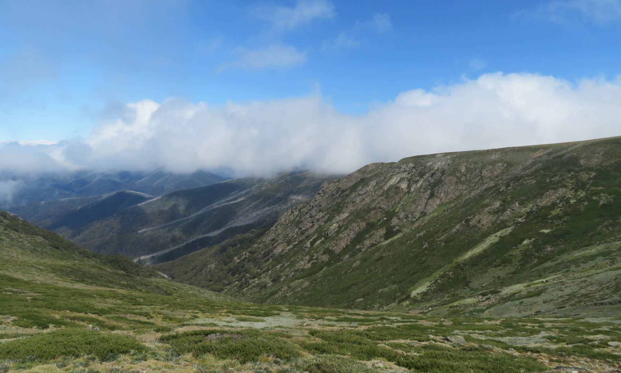
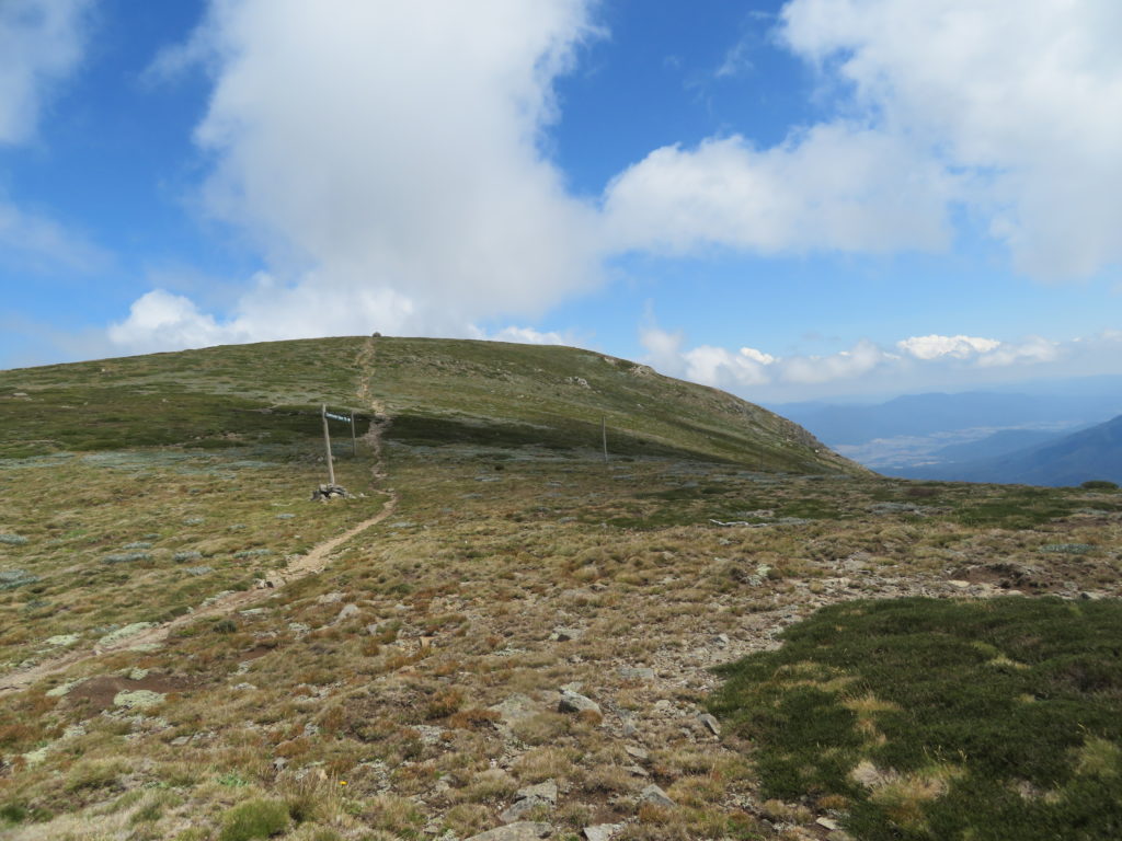
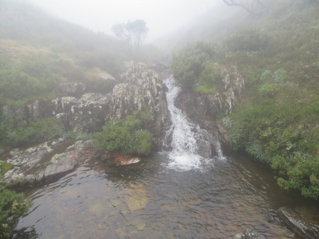
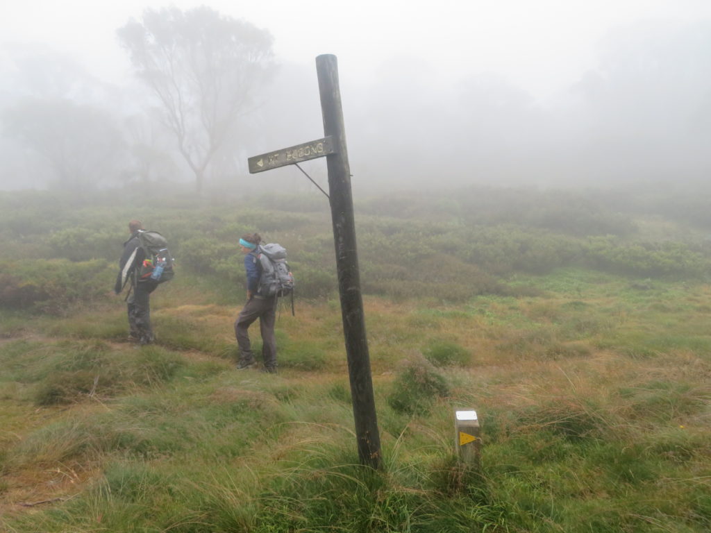
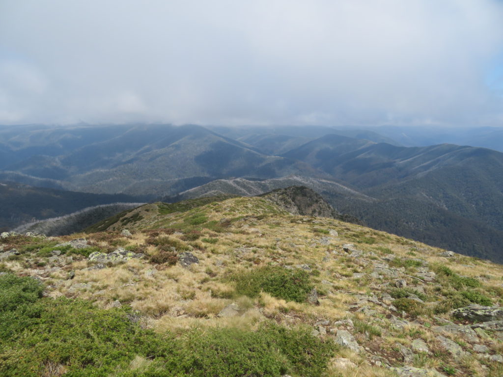
Our original plan was to continue on deeper into the park to reach the Roper Hut via the “T Spur” on Day 2, then walk out on day 3 via the ~30km long “Big River” fire track. However, given our gear was still wet and also having a less-than-ideal physical condition of one of our party, we decided to revise the plan and make the walking a bit easier. So we left the majority of our gear in Cleve Cole hut with the intention of returning for a second night. With lighter packs, we traversed the Mount Bogong massif, visiting Howman Falls on the Southeastern edge, as well as Quartz Knob on the Northwestern edge. The walking was much easier and the views were always fantastic, given the altitude we had worked hard to gain on day 1.


Day 3
Descent of Eskdale Spur and return to Mountain Creek Campground
~15km return, ~1300m descent
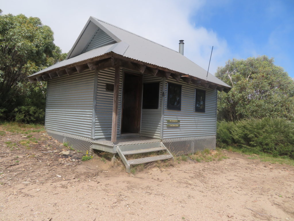
Day 3 was a simple walk out, via the Eskdale spur. I was glad at this stage that we decided to not continue to Roper Hut the previous day, as my feet were beginning to form blisters with the amount of moisture that had built up in my boots. There is a hut about one third of the way down Eskdale Spur called Michell Hut (~1600m), with a composting toilet and rainwater tank.
Overall, a good trip for mountaineering training given the magnitude of the vertical ascent required. I would be interested in exploring more of the Victorian Alpine region and the Australian Alpine Walking Track. Also, I would be particularly keen to return to Mount Bogong with skis one winter when conditions are favourable, and try some of the skiing on the south face.
Stunning Cameron! What a wonderful part of the world!!