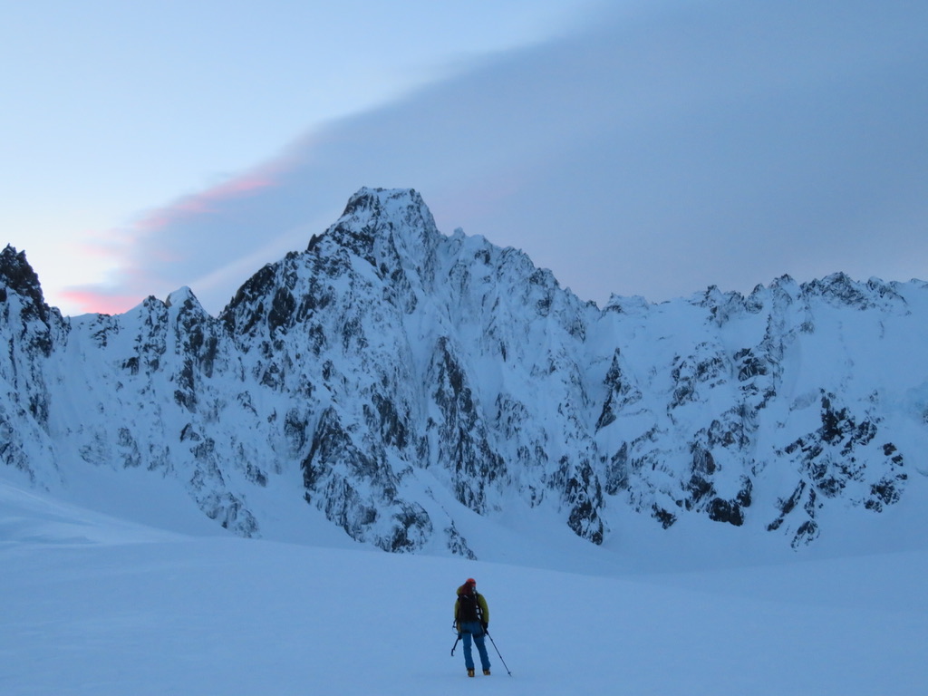
In winter 2019, Ryan Castel and I made an ascent of the south face of Douglas Peak in the New Zealand Southern Alps. We ascended via the “Right Hand Gully” route, a 16 hour hut-to-hut effort in marginal conditions.
Sunday July 7th
Our original plan was to walk into Empress Hut up the Hooker Glacier, from Mount Cook Village, and climb some of the steep winter routes on Mt Hicks. We spent Saturday night cramming 7 days of food, fuel and gear into our packs in Wyn Irwin hut. We were mentally prepared for a gruelling, 12-16 hour approach with heavy packs. However, after a 3.30am start on Sunday morning our plan was quickly cut short by access issues in the Hooker Glacier.

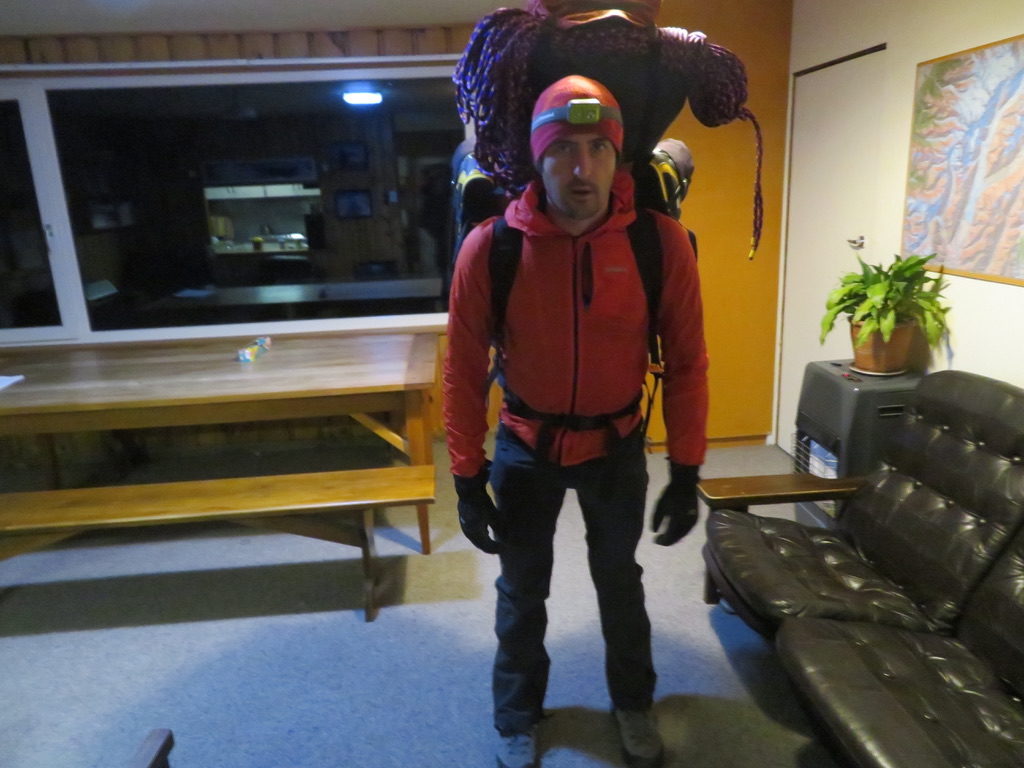


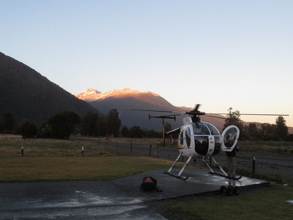
We made a quick decision to relocate to the west coast, and fly into Pioneer hut on Fox Glacier where more steep winter routes lay waiting. We were hopeful that given our early start we might be able to fly in that day, but conditions were not favourable for flying until Monday morning.

Monday July 8th
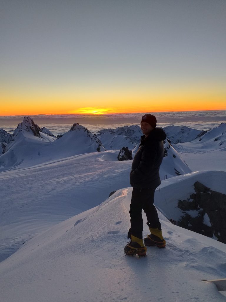
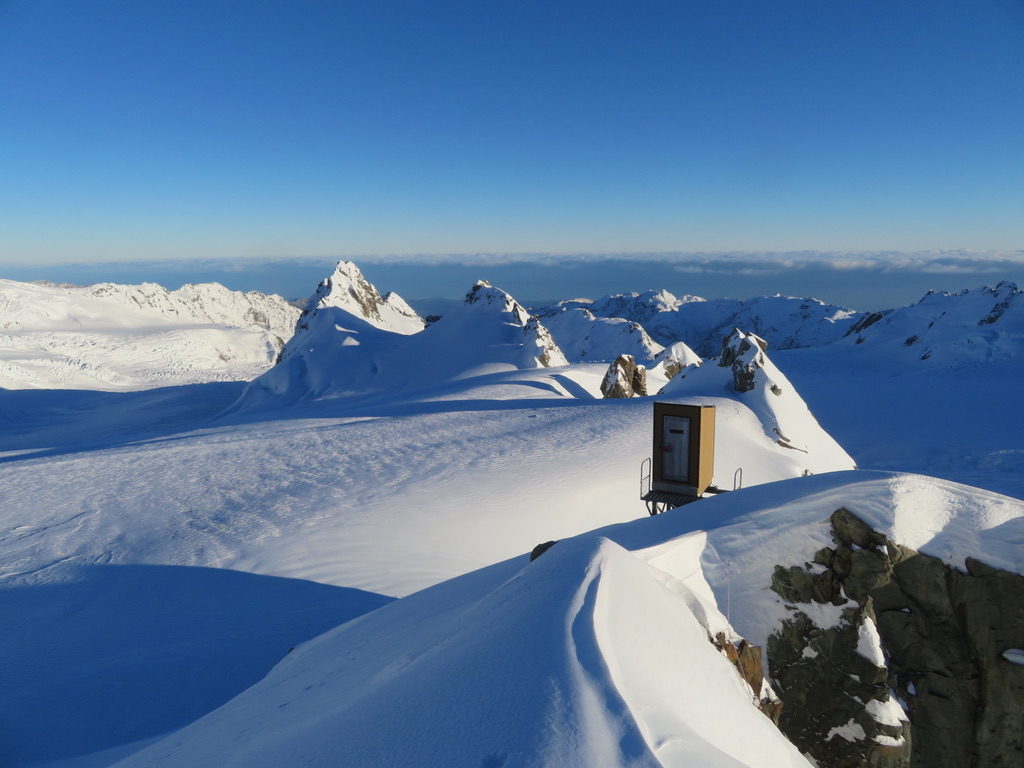
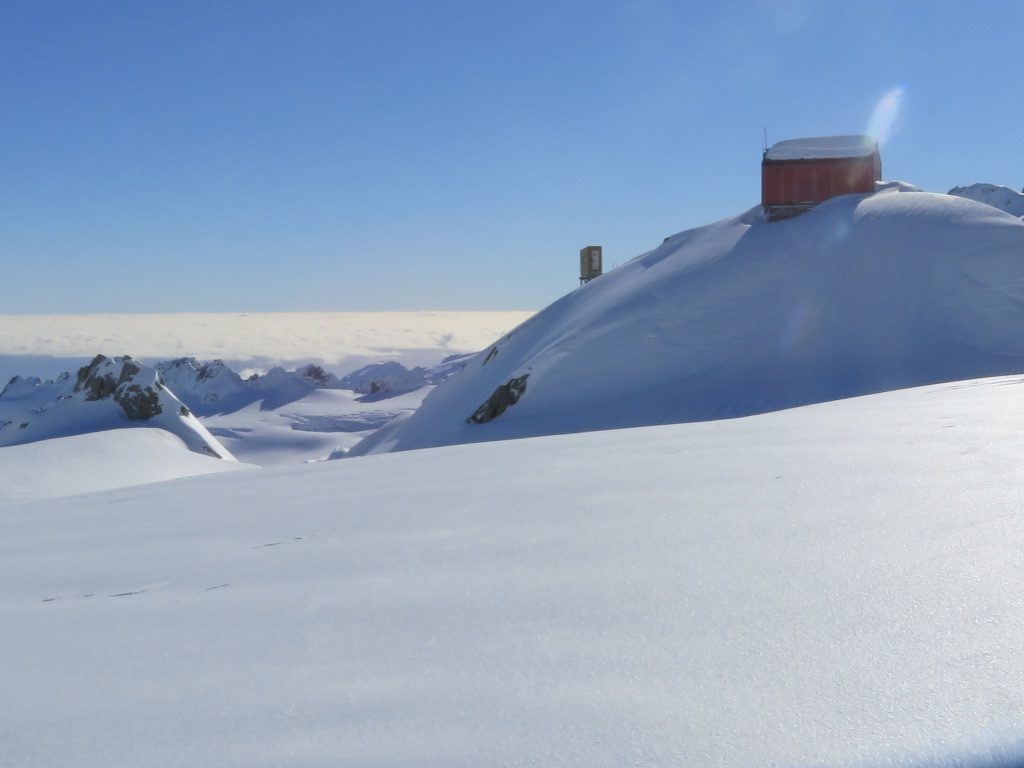
A relatively cruisy start of 7am meant we were ready to fly in at 8:30am. The weather was fine, the sky was clear and winds were low. We enjoyed a spectacular flight up the tongue of Fox Glacier, before landing on the névé next to Pioneer Hut. Given the perfect conditions we quickly dumped our gear in the hut and repacked our bags with the intention of climbing something that same day.
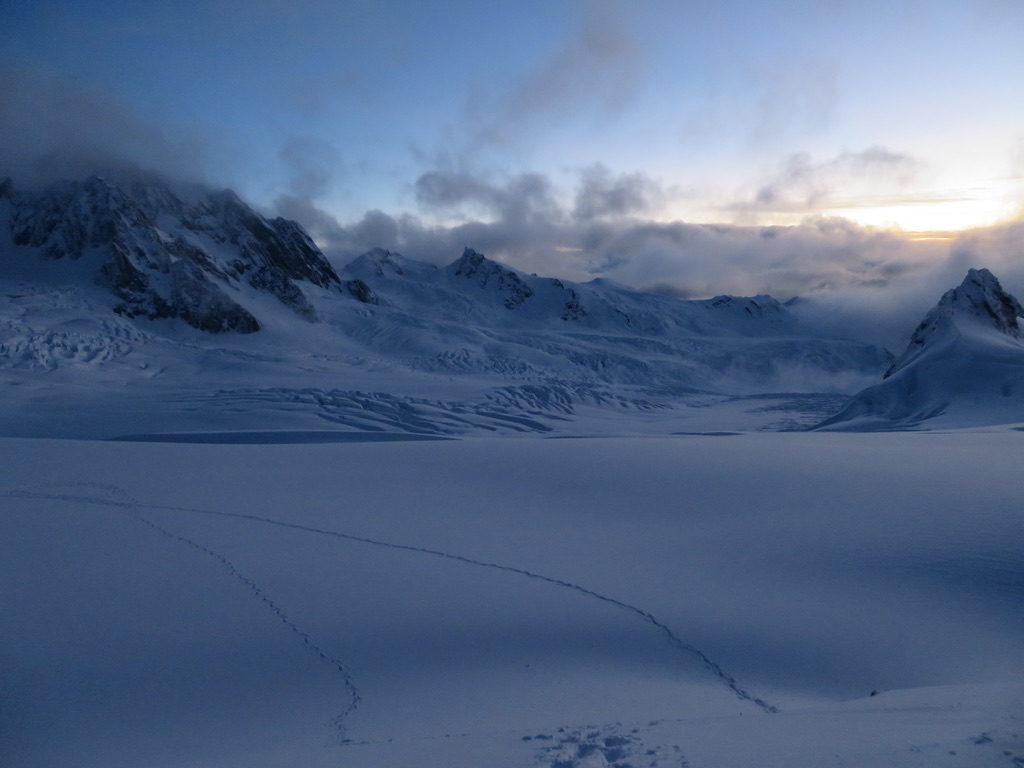
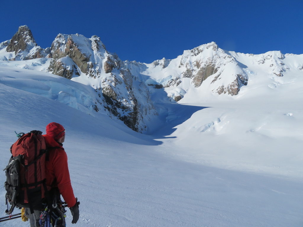
Eventually though, after inspecting the south faces of Mt. Alack and Douglas Peak, we decided to kick steps up to the start of Douglas Peak, return to the hut for an early night, then get up early on Tuesday morning for a solid attempt at the Central Gully Route on the south face of Douglas – one of New Zealand’s prized technical winter routes. We figured better to give ourselves the maximum chance of success on a beautiful line, rather than tire ourselves out that day on a mediocre line whilst daylight hours were quickly slipping away..




Tuesday July 9th
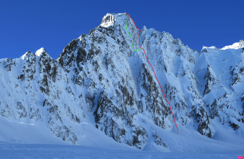
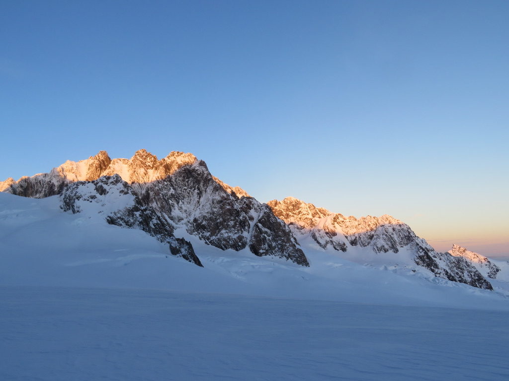
We awoke at the relatively late hour of 6am, and were out of Pioneer hut walking towards our objective at 7.30am. Given it was winter and the conditions were cold all day long, we weren’t in a great hurry to beat the morning sun (with fear that the afternoon heat would cause the route condition to deteriorate – this is more of a summer mountaineering concern). We fortunately felt no time pressure due to the condition of the route. However, as the day progressed it was clear that the stable weather was gradually deteriorating. This caused me some degree of anxiety, with increasing winds, lenticular clouds and poor visibility nearly resulting in us turning around at several points.


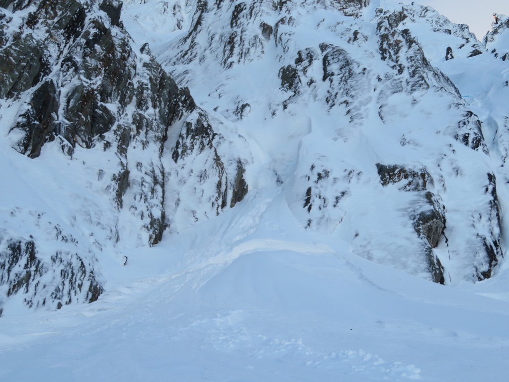
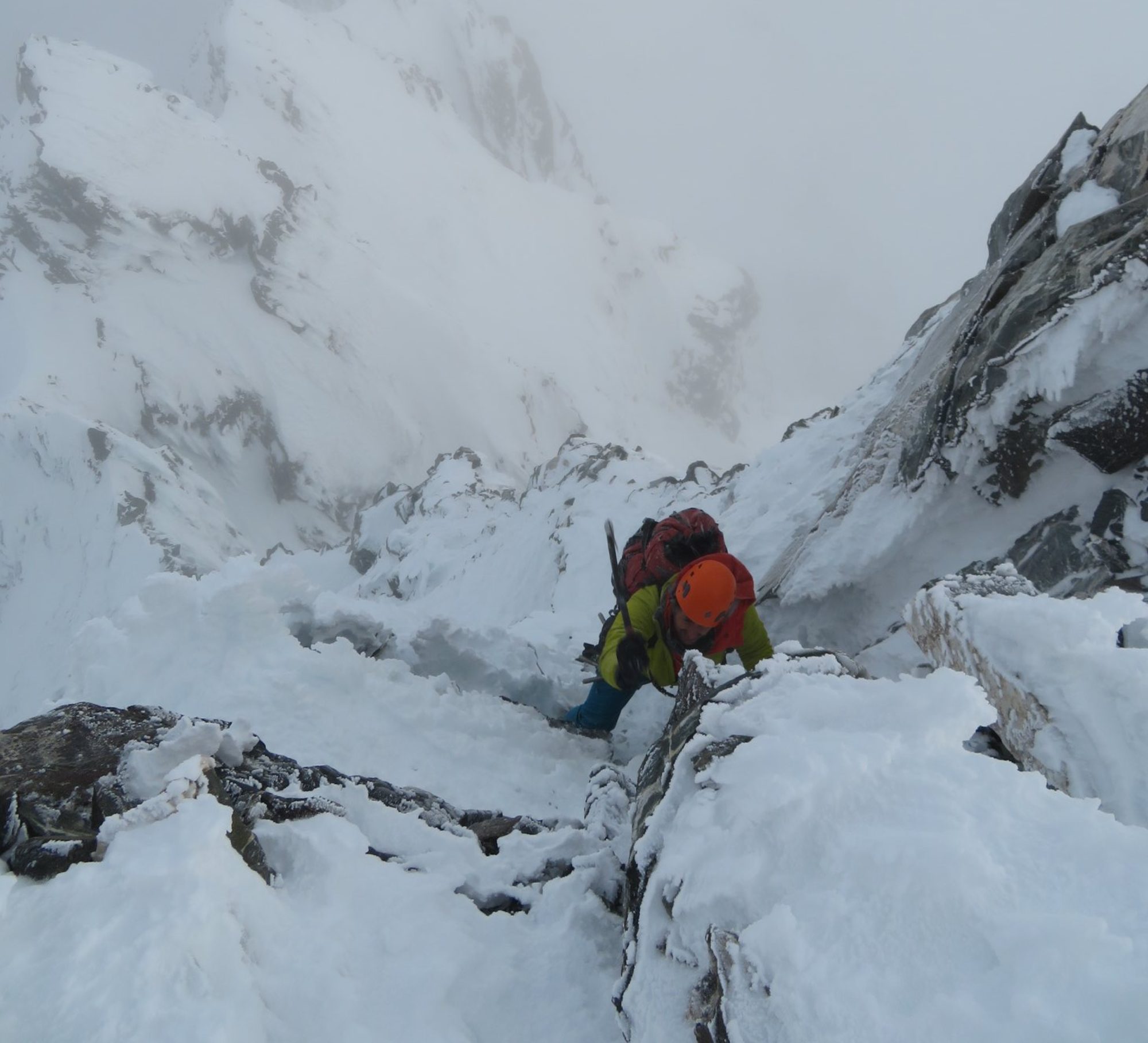
After crossing the bergschrund, a relatively short snow plod brought us to the first crux of the route, a ~50m section of WI3 alpine ice. We decided to solo this section as it looked fairly straight forward. However, as we ascended we realised that there was a considerable amount debris falling down the route, mostly ice that was being blown by strong northerly winds from the opposite side of the mountain.
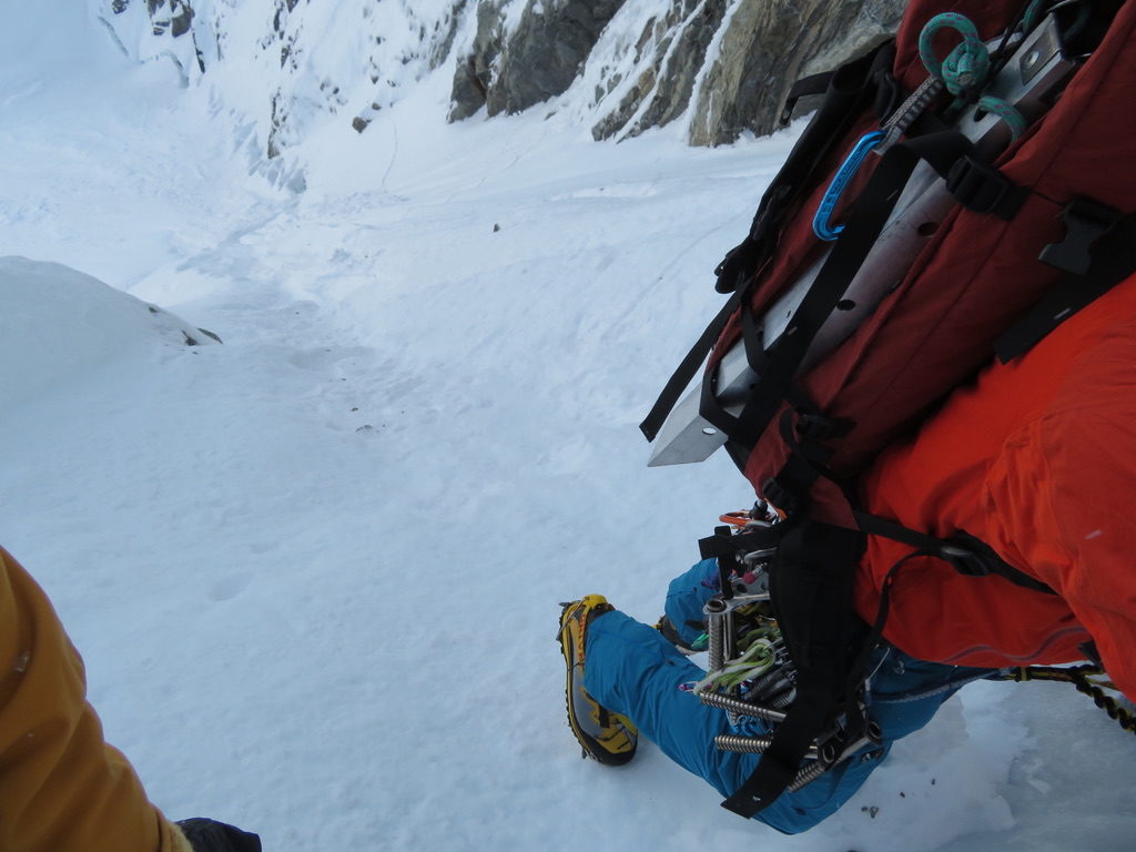


After taking a few painful hits from fist sized chunks of ice, we decided to put a rope on. Ryan proceeded with leading mostly WI2/3 ice and snow, whilst I seconded. Anchors consisted mostly of ice screws, with the occasional snow picket and piton. The main challenge was keeping warm, and I found I had to put all my layers on after a we had reached the halfway point. Once I had put on my down jacket, I didn’t take it off for the rest of the climb. Standing still during the belays was the most challenging part; once Ryan had set up a top belay, I was usually able to warm up pretty quickly once I was able to start moving again.
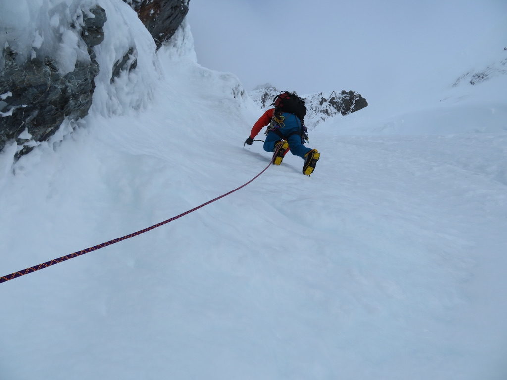

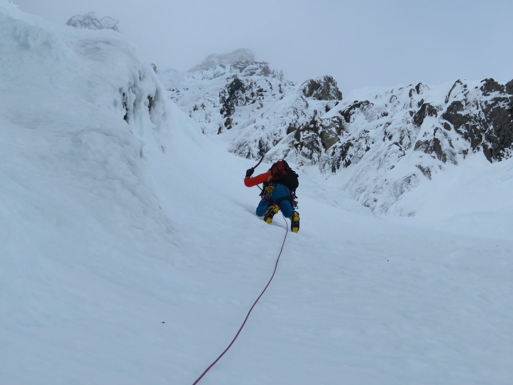
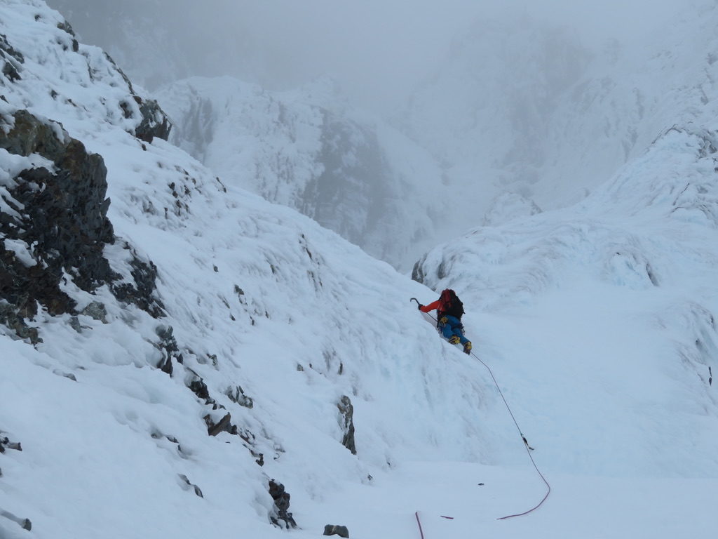

After approximately 6 pitches of climbing, we came to a junction where several route options existed. One of these options was to go left, in an attempt to complete the true ‘Central Gully’ route which was our original objective. This route is a steeper and more direct route to the summit. However, when Ryan lead the traverse to get us onto this route, he found horrifically sugary snow that was unstable and ready to peel off the rock at any moment. Given there was no way to protect this traverse, he down-climbed back towards the belay, before heading up the more straight-forward ‘Right Gully’ route which had stellar snow conditions.
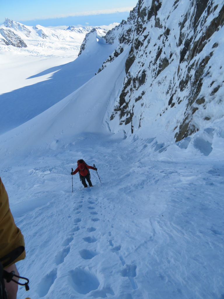
After completing one more pitch, we decided to take the rope off and solo the remaining ~100m towards the northwest shoulder of Douglas Peak. This section was winter climbing paradise, with a moderate ~50 degree slope, and styrofoam-like snow that was extremely stable and secure.
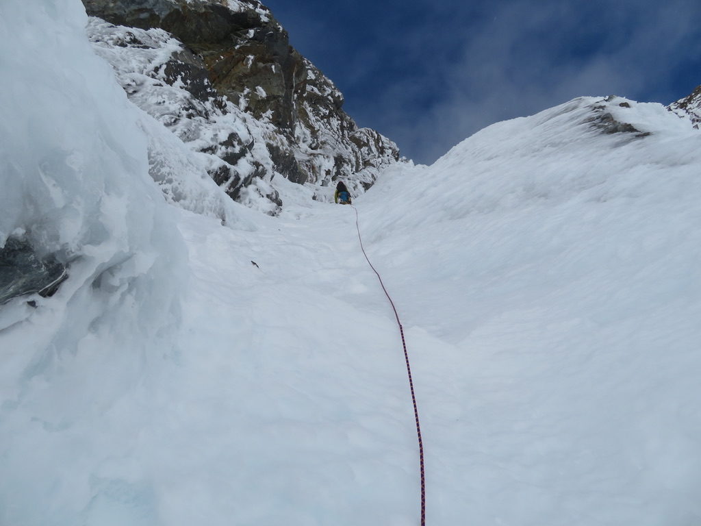

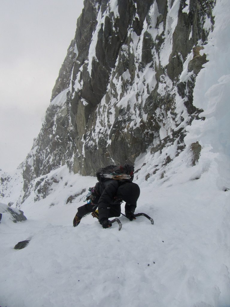
Upon reaching the shoulder of Douglas Peak, we had another ~60m of mixed climbing to complete in order to gain the summit ridge. At this point it was 4pm with strong winds and poor visibility due to clouds shrouding the summit ridge. We discussed descent options – Ryan was fairly confident that descending via the north side via Glacier Peak and the explorer glacier was the more straight forward option. This would require us to push on to the summit then traverse down the other side of the mountain.
I was anxious about the incoming bad weather and the fact that we only had another 90 minutes of daylight, my concern being that navigation would be difficult without the benefit of good visibility. My preference was to descend down the same route we had climbed, which would mean a number of abseils, but at least navigation would be easy because we would be descending a narrow gully which we were now familiar with.
After some discussion Ryan convinced me to at least climb to the summit to have a look at the Glacier Peak descent option. I proceeded to solo this section last very quickly, as I wanted to at least view the descent path before the darkness of night was upon us.


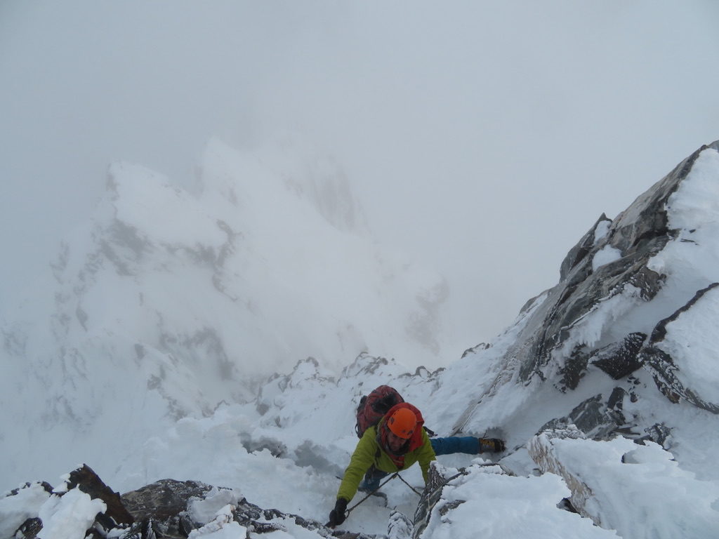

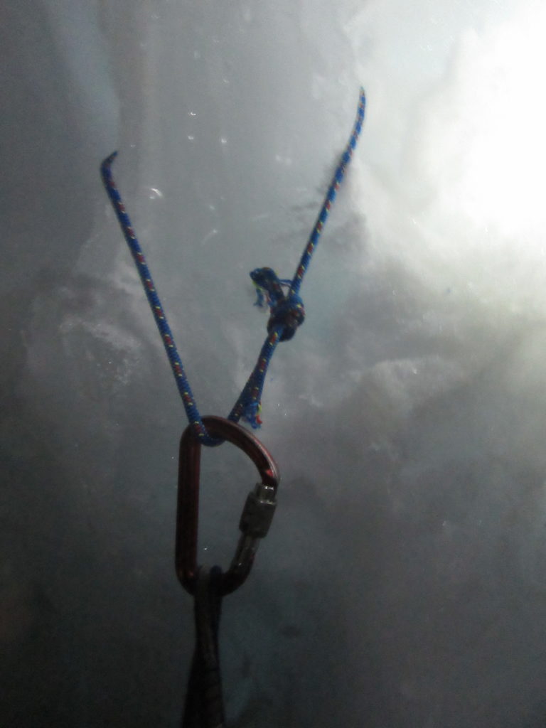
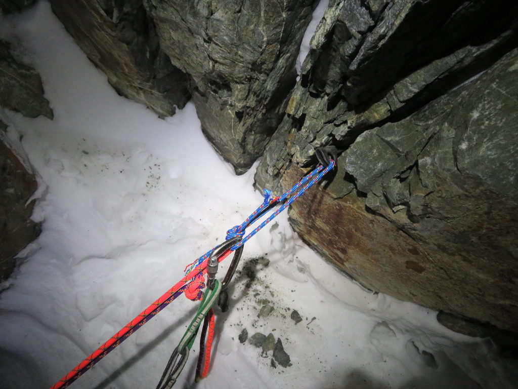
After gaining the summit ridge at 5pm, Ryan and I immediately realised that the best way down the mountain was going to be abseiling the route we had just climbed. The alternative glacier peak descent path had poor visibility and was more exposed to the wind. We were comfortable that good anchors existed on the route we had just climbed, which was also more protected and navigationally easy. It took ten 60m abseils to get back below the bergschrund, indicating that the route was approximately 600m in length. We made it back to Pioneer Hut at midnight, making it a 16 hour day.


Wednesday July 10th – Monday July 15th
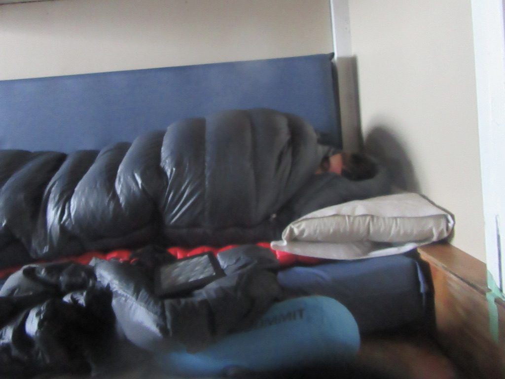
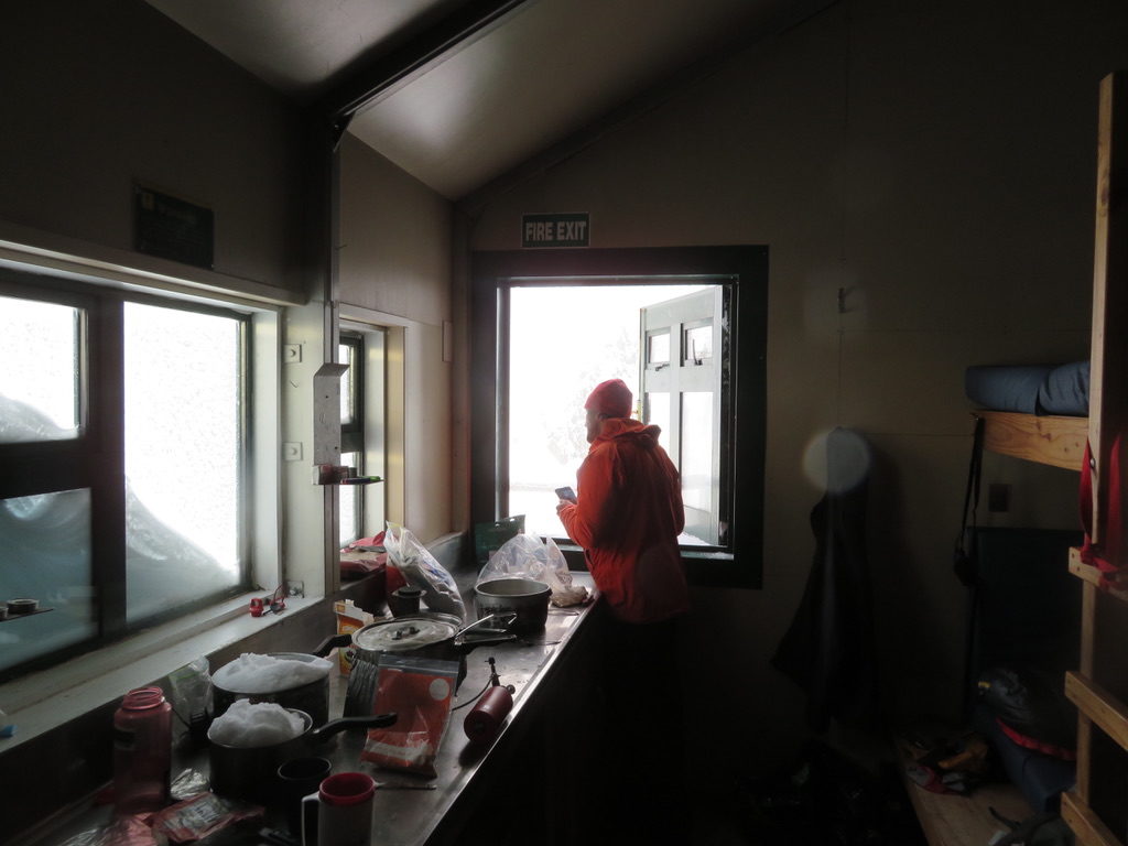
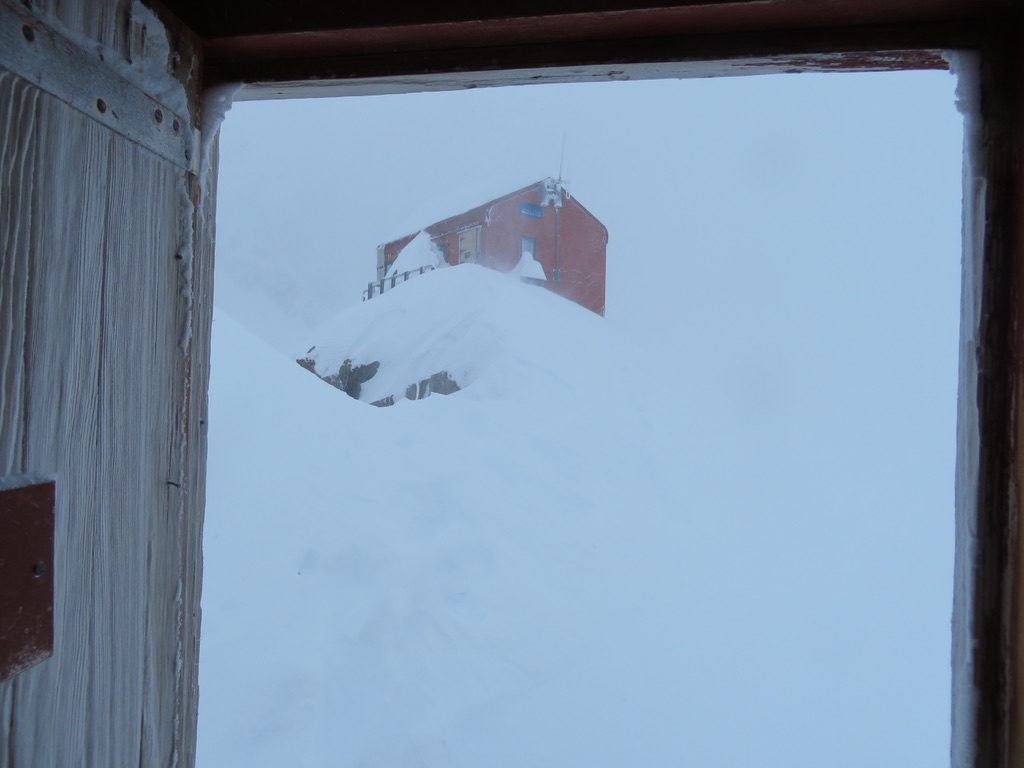
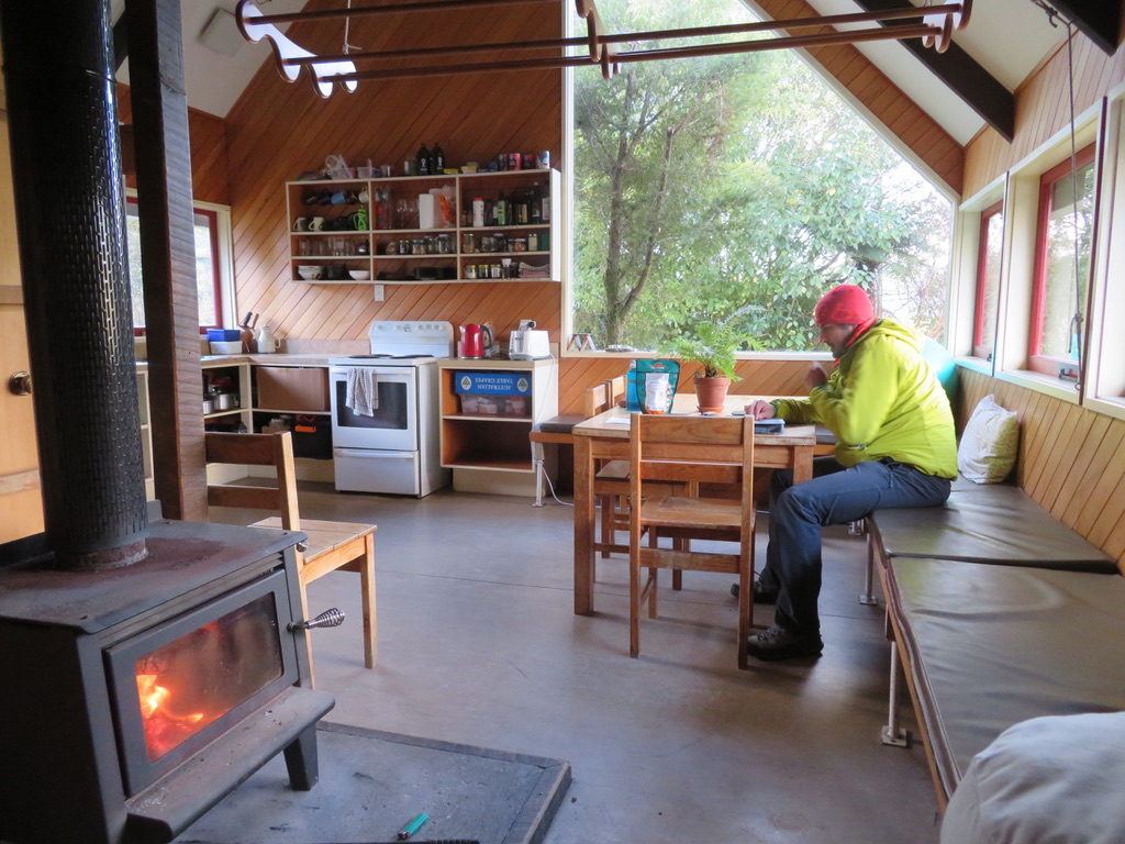
After getting back to Pioneer Hut, we had a well deserved rest day on the Wednesday. I had come down with a cold so spent the whole day resting in my sleeping bag. Outside, the weather turned foul: gale force winds, zero visibility and heavy snowfalls kept us confined to the hut, with no contact to the outside world except a radio which could be used to touch base with the DOC and the helicopter company.
Unfortunately this weather continued for another 5 days with basically no weather windows that lasted long enough for helicopter flights, meaning we were stranded in Pioneer hut until Monday July 15th. The avalanche conditions had also changed as a result of the new snowfall, and we were not keen to try and push through the blizzard to walk out for fear of triggering a dangerous avalanche.
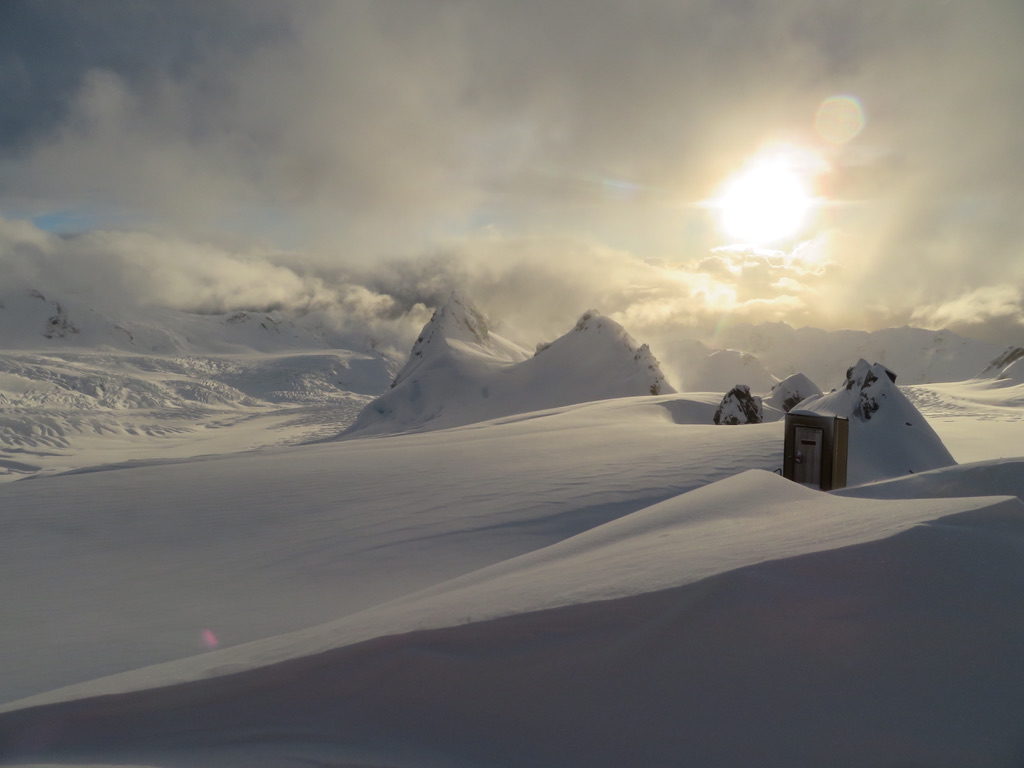
The 5 days of hut time was spent keeping warm, melting snow for water and food, reading and enjoying a somewhat pleasant retreat from the stresses of modern life. It was a tad frustrating not being able to easily communicate with loved ones, and we did miss our flights home by a day. Overall though, this was of little consequence as we had enough food for at least 10 days (15 days if we really needed to stretch it out). The few brief weather windows, when they did eventuate, were stunningly beautiful. When we finally got down to Fox Glacier, we felt deeply grateful for our safety and extremely content that we had managed to climb a great route before the weather had deteriorated.
